Call Us USA/CANADA (011 30) EUROPE(00 30) AUSTRALIA (0011 30)Mobile: 697 305 7711
GREECE PRIVATE TRAVEL TOURS & TRANSFERS
MANI IS AN OPEN MUSEUM
Mani Peloponnese - Gythion - Areopolis - Cape Tenaron -Monemvasia
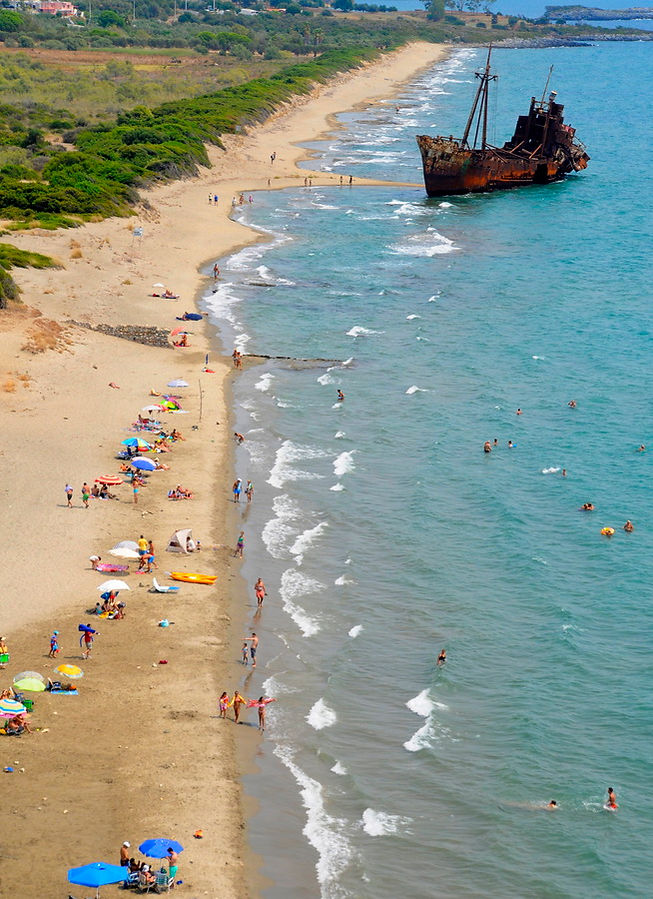
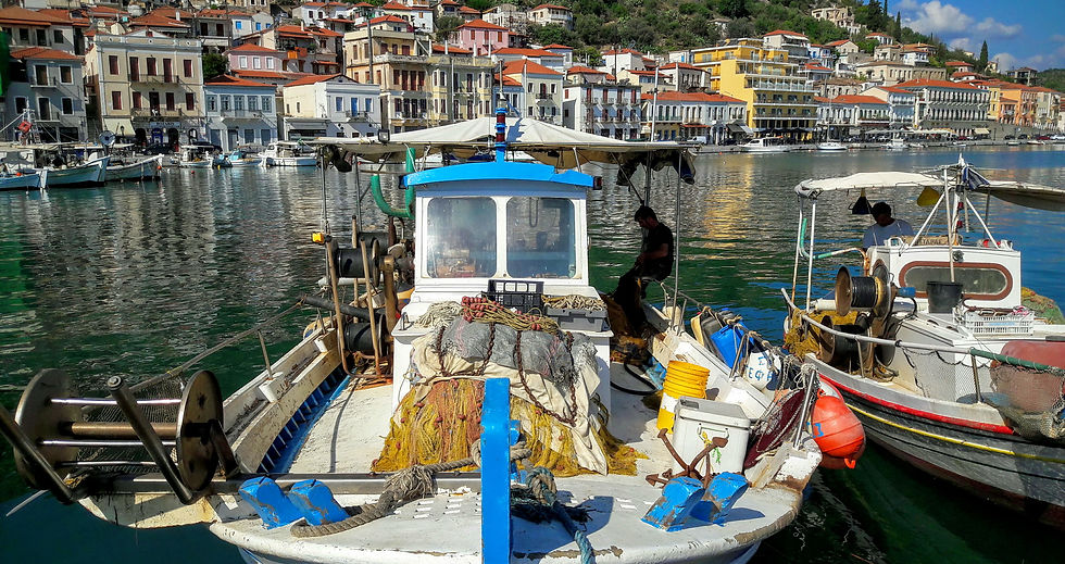
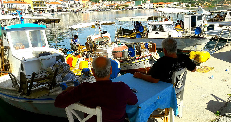
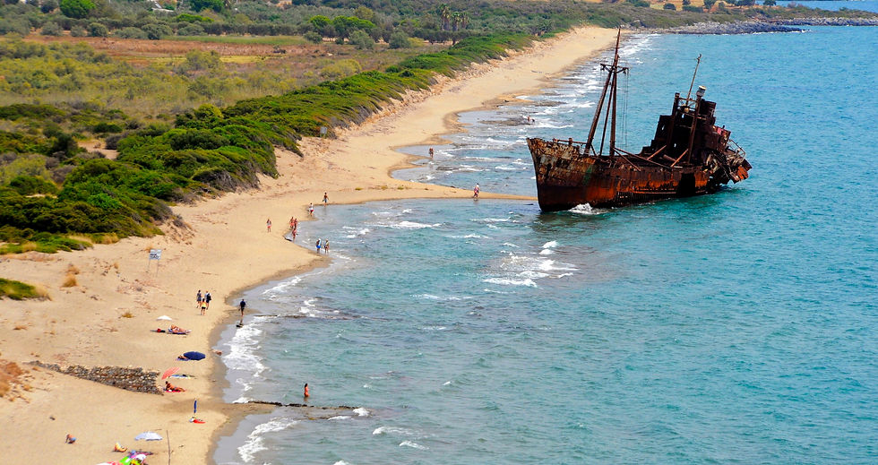
Gytheio, is a town and a former municipality in Laconia, Peloponnese, Greece. It was the seaport of Sparta, some 40 kilometers (25 miles) north. Gytheio used to be an important port until it was destroyed in 4th century AD, possibly by an earthquake. Today it is the largest and most important town in Mani. It is also the seat of the municipality of East Mani. The town center is situated around the port. Pine trees are situated in the west and rocky mountains in the north. 5km east is one of the finest beaches of Peloponnese, do not miss a visit to admire the ship wreck and the blue crystal waters...

SHIPWRECK REVIEWS
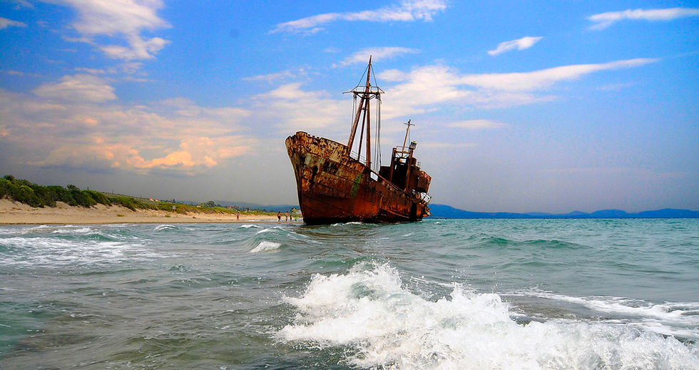
A beautiful endless sandy beach with sand dunes and the ship wreck Dimitrios. It is quite breath taking to sunbathe or to take a swim with the dunes and the shipwreck on the background. The is also a cafe restaurant at the beginning of the beach, with sunbeds.
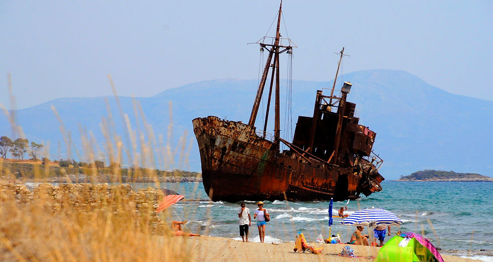
I was told that besides the famous shipwreck in Zakynthos, this is the only other shipwreck in Greece. As it is situated not very far away from the town of Ghythio, we decided to take a short drive to see it. You can see that Dimitrios was once a magnificent ship and to see the deterioration up close was rather scary, as you can see how fast nature has destroyed this piece of machine. Worth a visit if you are in the area.
Perfect if you like a trifle haunted atmosphere for your swim. The water is very accessible, warm to hot, so clear that carretta carrettas have their favorite nesting spots on the shore. No danger if you swim behind the wreck, but if you enter you do it at your own risck. The rust is not polluting as a reviewer wrote: the water is full of life!
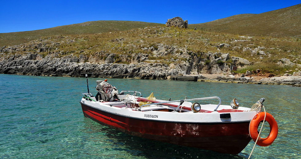
The Mani Peninsula is a geographical and cultural region in Greece. The capital city of Mani is Areopoli. Until recent years many Mani villages could be reached only by sea. Today a narrow and winding road extends along the west coast from Kalamata to Areopoli, then south to Akrotainaro (the pointy cape which is the most southward soil of continental Greece) before it turns north toward Gytheio. Another road, that is used from the public buses in the line Piraeus - Mani and exists several decades now, comes from Tripoli through Sparta, Gytheio, Areopoli and ends in the Gerolimenas port near Cape Tenaron where used to be Poseidon Sanctuary know as Nekromantion.
Medieval Times: As the power of the Byzantine Empire declined, the peninsula drifted out of the Empire's control. The fortress of Maini in the south became the area's center. Over the subsequent centuries, the peninsula was fought over by the Byzantines, the Franks, and the Saracens. After the Fourth Crusade in 1204 AD, Italian and French knights (known collectively by the Greeks as Franks) occupied the Peloponnese and created the Principality of Achaea. They built the fortresses of Mystras. The area fell under Byzantine rule after 1262, forming part of the Despotate of the Morea. In 1460, after the fall of Constantinople, the Despotate fell to the Ottomans. Mani was not subdued and retained its internal self-government in exchange for an annual tribute, although this was only paid once. Local chieftains or beys governed Mani on behalf of the Ottomans:

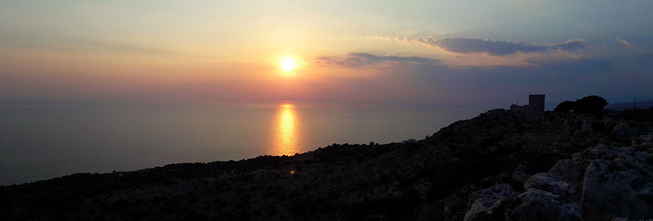
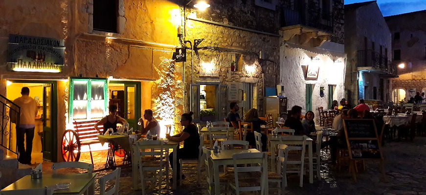
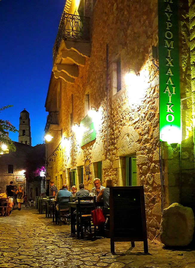
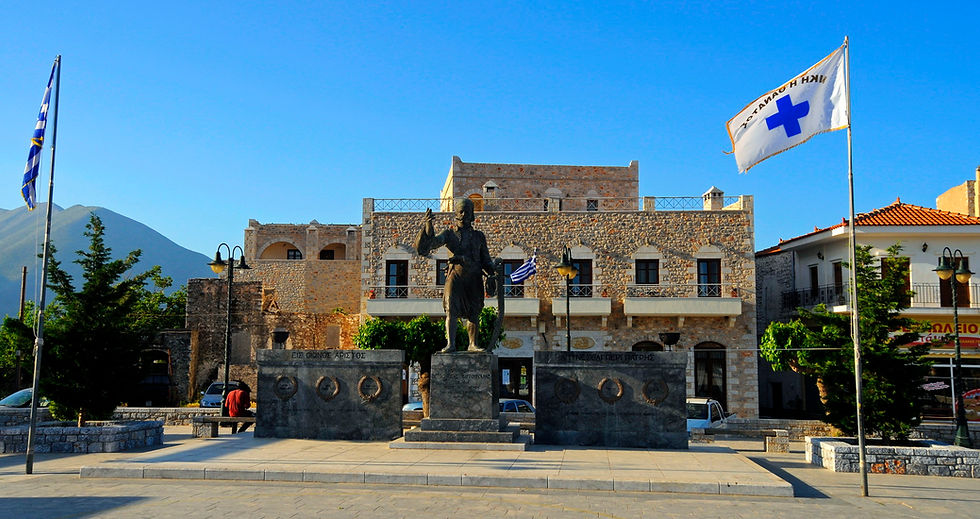
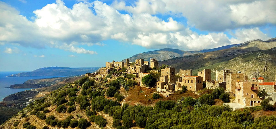
Areopolis is a town on the Mani Peninsula, Laconia, Greece. The word Areopolis means "city of Ares", the ancient Greek god of war. It was the seat of Oitylo municipality. Areopolis was called Tsimova by the invading Slavs during the 7th century AD. The Greek War of Independence was started at Areopoli on March 17, 1821 by Petros Pierrakos, also known as Petros Mavromichalis, the last bey of Mani. Now Areopolis has grown into a flourishing town. Its tower houses, constructed with field stones, are distinct from the traditional blue and white buildings that characterize many Greek villages.
Areopoli is situated near the west coast of the Mani Peninsula, 1.5 km from its port Limeni. It is 20 km southwest of Gytheio. There is lively open air market in the main square each Saturday, with a lot of local producers present.
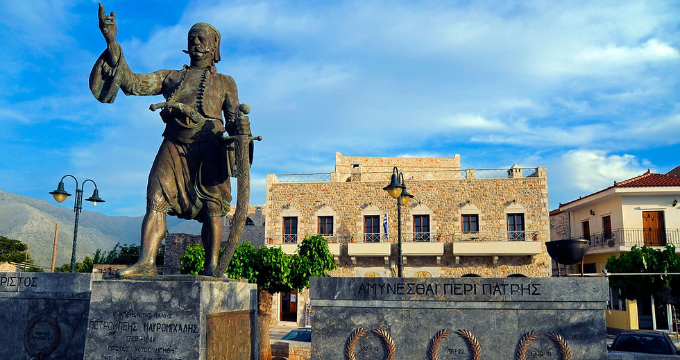
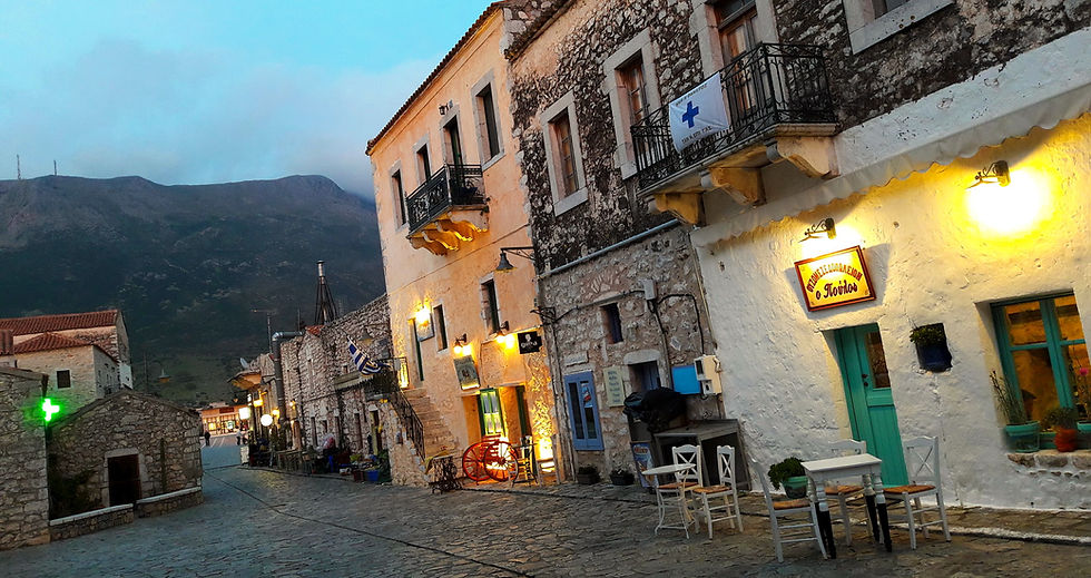
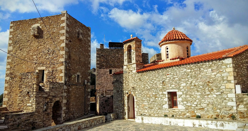
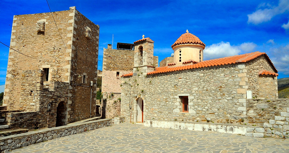
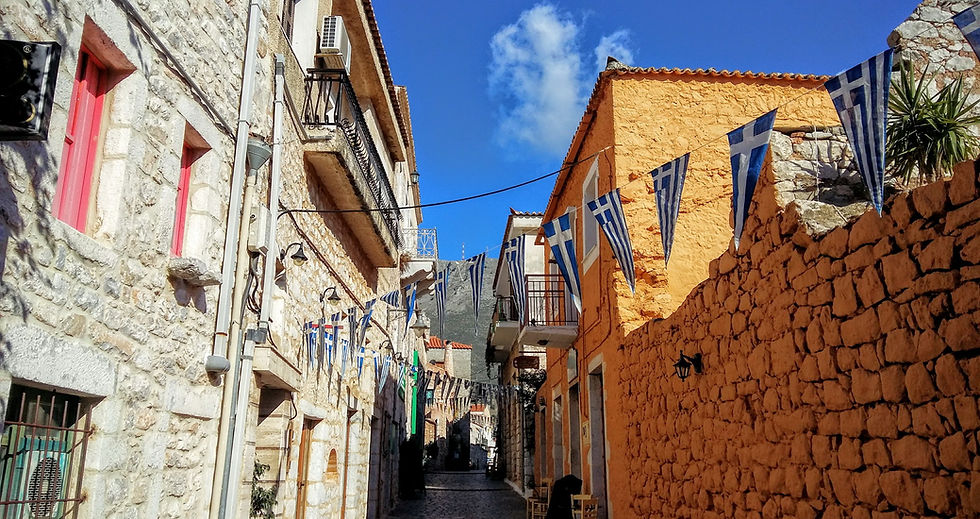
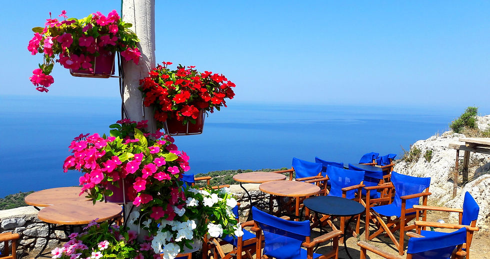

Porto Kagio is a seaside village in the East Mani municipality on the eastern side of the Mani Peninsula. It faces a small bay off the Laconian Gulf and is about three miles north of Cape Tenaron, the southernmost tip of the Mani Peninsula and of mainland Greece. The Ottomans built a castle here in about 1568, to protect the port, which was used for galleys patrolling the Kythera Channel. The Venetians attacked the castle in 1570, and the Ottomans surrendered and abandoned it. In 1670, the Ottomans returned and built a new castle. They were driven out in 1770 during the Orlov Revolution. Porto Kagio was the base of Lambros Katsonis's pirate fleet, and it was at Porto Kagio that it was finally destroyed. In World War II, Porto Kagio was a place where many British soldiers escaped to Egypt.
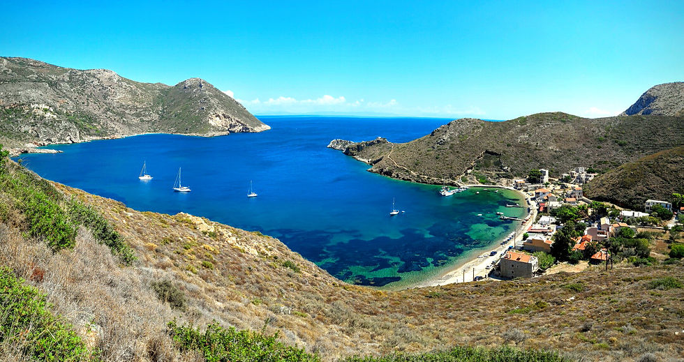
Gerolimenas is a picturesque small coastal village and a community in the municipal unit of Oitylo, at the southern end of the Mani Peninsula, in Laconia, Peloponnese, Greece. The name, which means "Old Harbour", is thought to derive from the ancient (Ieros Limen), meaning "Sacred Harbor". One of the remotest settlements in the Peloponnese, until the 1970s it was reached mainly by boat. In the past it was a major fishing center, and featured substantial infrastructure such as a shipyard, ice supplies, and a fish market. Today the main industry is tourism.
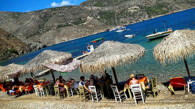
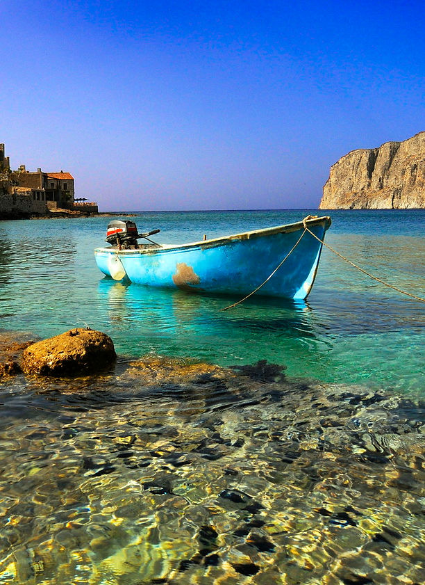

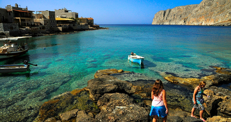
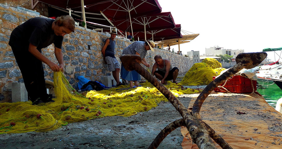
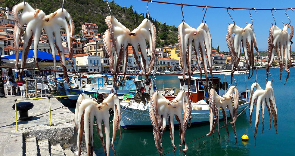
Locals fix their nets


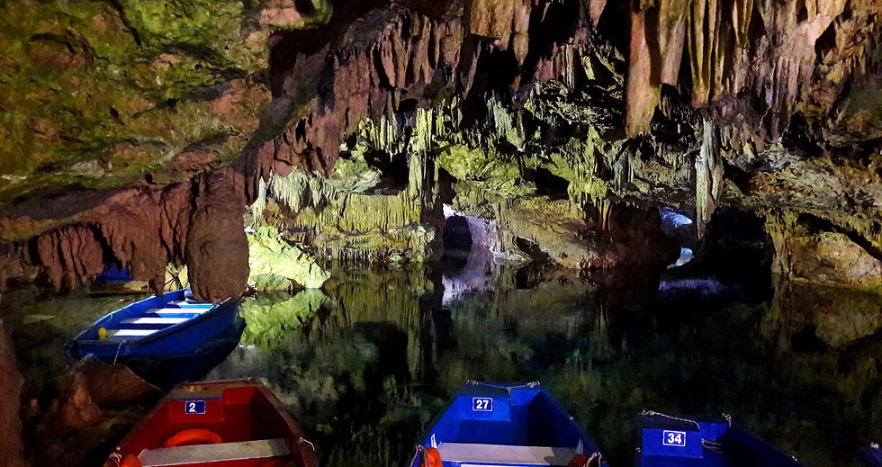
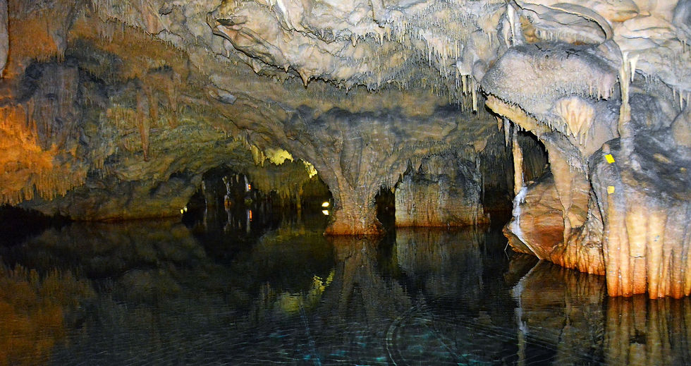
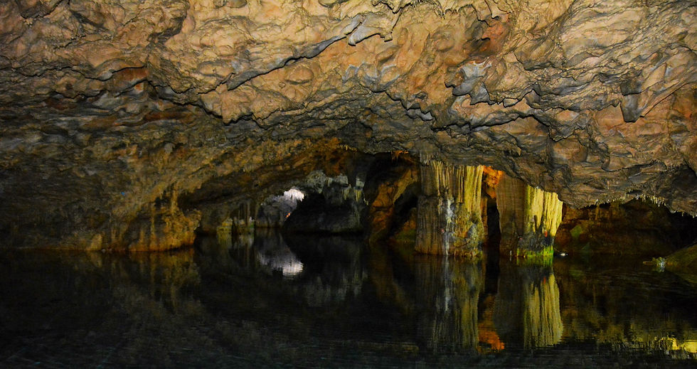
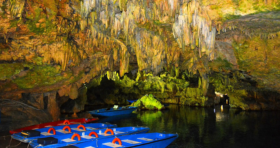
MANI DIROS CAVES
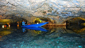
The famous Alepotripa and Vlichada caves are located in Pirgos Diros. They were explored by the speleologists Ioannis and Anna Petrochilos. The Alepotrypa cavern was discovered in 1958. Archaeological research begun in 1970 under the direction of archaeologist Georgios Papathanassopoulos. In the course of the late Neolithic period (4000 - 3000 BC), the cave was extensively used as shelter, dwelling, workshop, storage place for goods, cemetery and a place of worship.
The famous Alepotripa and Vlichada caves are located in Pirgos Diros. They were explored by the speleologists Ioannis and Anna Petrochilos. The Alepotrypa cavern was discovered in 1958. Archaeological research begun in 1970 under the direction of archaeologist Georgios Papathanassopoulos. In the course of the late Neolithic period (4000 - 3000 BC), the cave was extensively used as shelter, dwelling, workshop, storage place for goods, cemetery and a place of worship.
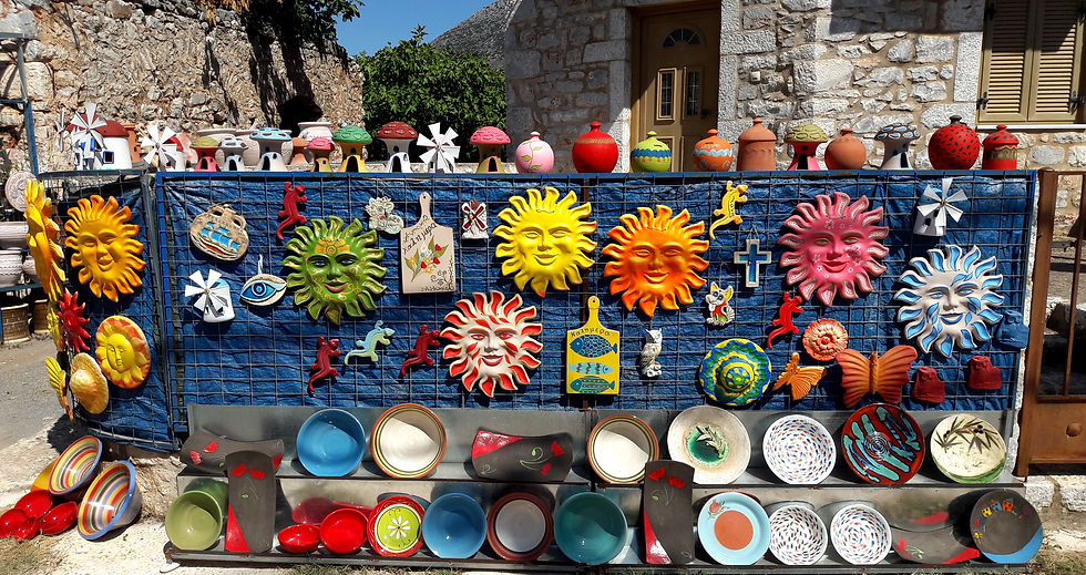
Ceramicks
Cape Tenaron - Poseidon Temple
Cape Matapan is the southernmost point of mainland Greece, and the second southernmost point in mainland Europe. It separates the Messenian Gulf in the west from the Laconian Gulf in the east.
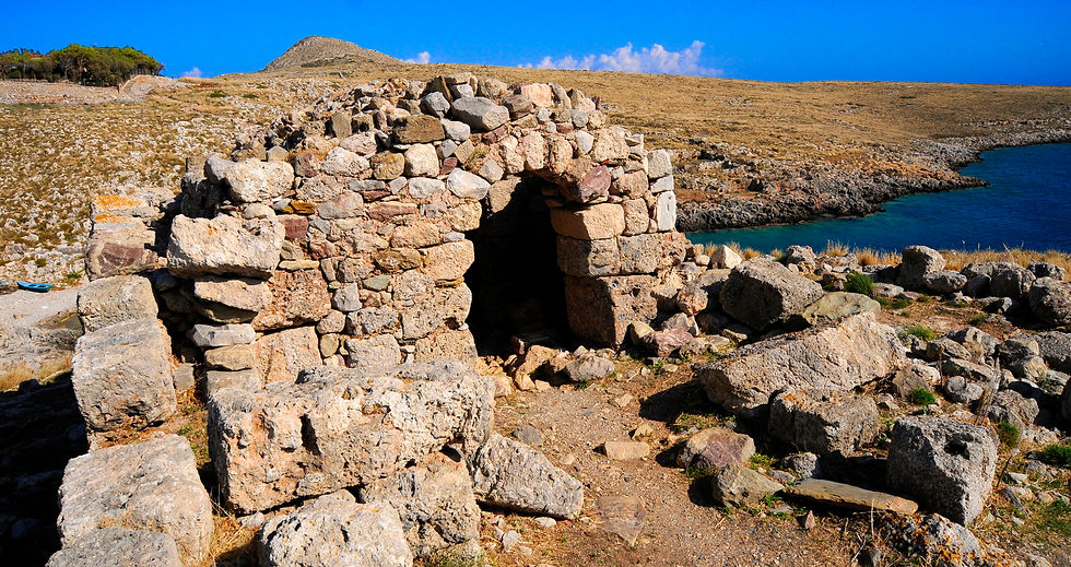
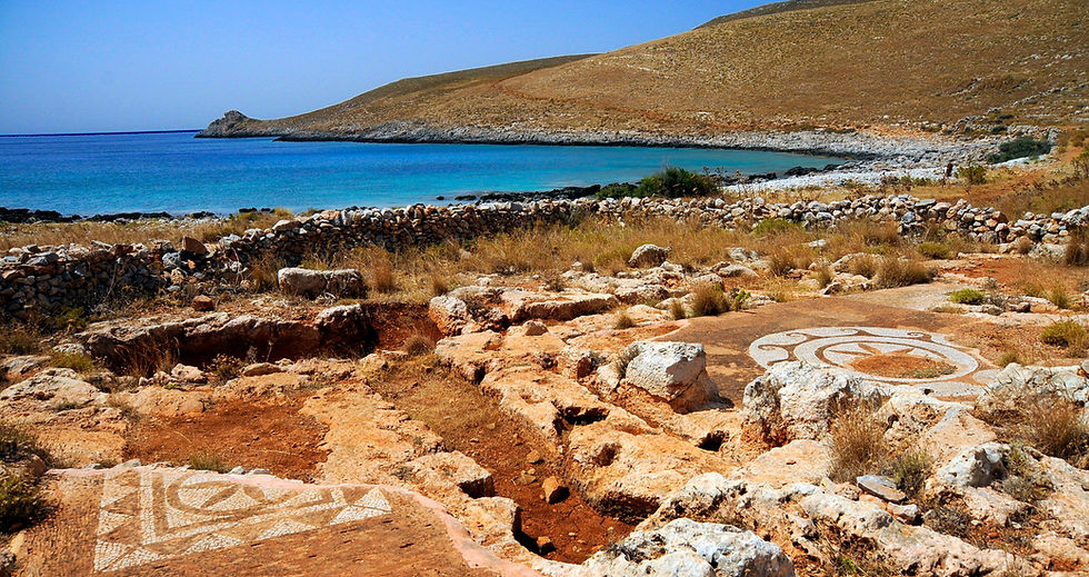
Cape Tenaron has been an important place for thousands of years. The tip of Cape Tenaro was the site of the ancient town Tenarus, near which there was (and still is) a cave that Greek legends claim was the home of Hades, the god of the dead. The ancient Spartans built several temples there, dedicated to various gods. On the hill situated above the cave, lie the remnants of an ancient temple dedicated to the sea god Poseidon . Under the Byzantine Empire, the temple was converted into a Christian church, and Christian rites are conducted there to this day. Cape Tenaron was once the place where mercenaries waited to be employed.
At Cape Tenaron, the Titanic's would-be rescue ship, the SS Californian, was torpedoed and sunk by German forces on 9 November 1915. In March 1941, a major naval battle, the Battle of Cape Matapan / Tenaron, between the Royal Navy and the Italian Regia Marina, in which the British emerged victorious in a one-sided encounter. The encounter's main result was to drastically reduce future Italian naval activity in the Eastern Mediterranean. As the southernmost point of mainland Greece, the cape is on the migration route of birds headed to Africa.
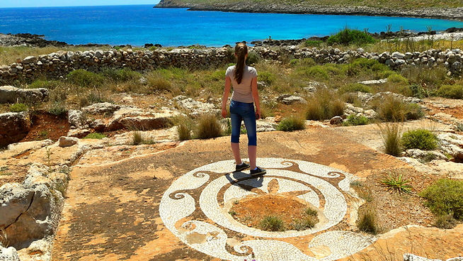
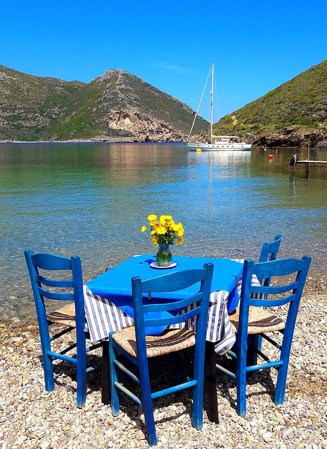
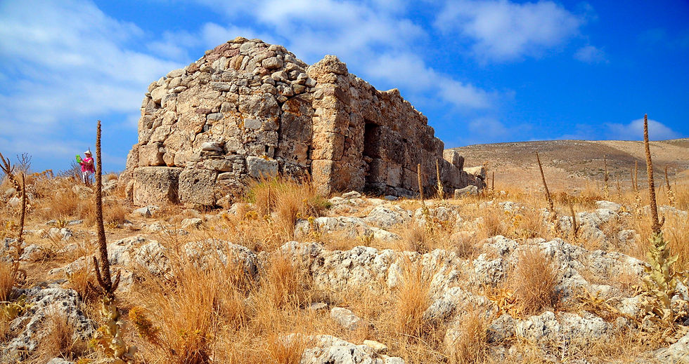
Monemvasia is an open Museum
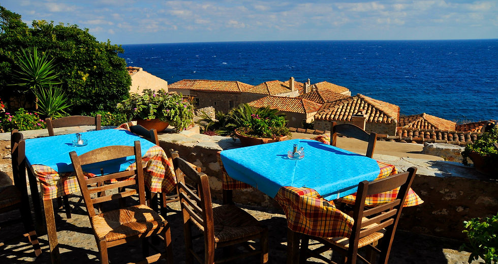
Monemvasia Laconia Peloponnese - An authentic Medieval Town
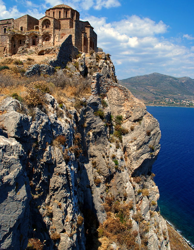
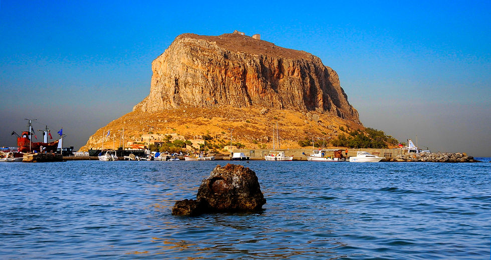
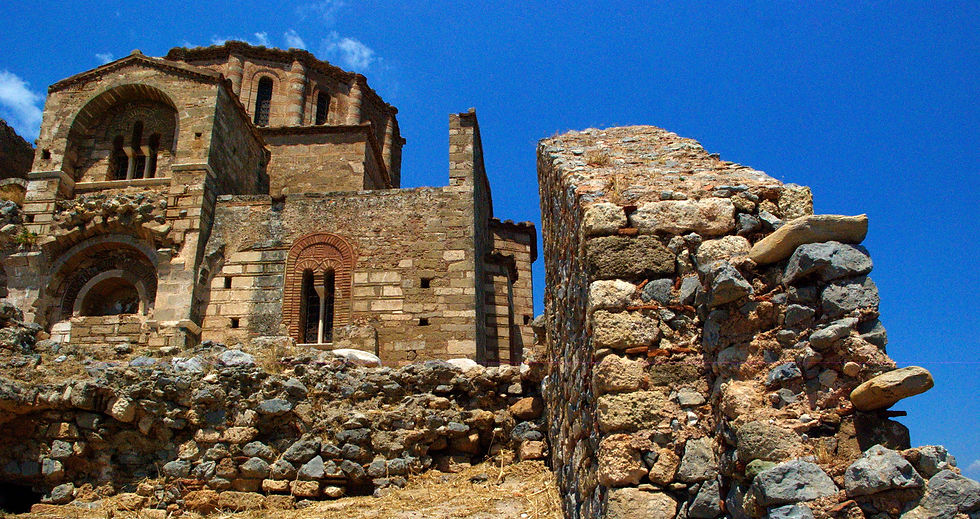
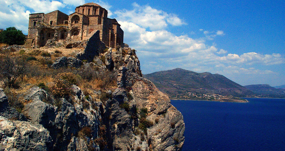
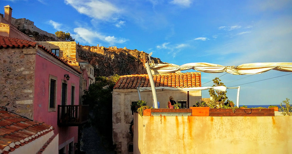
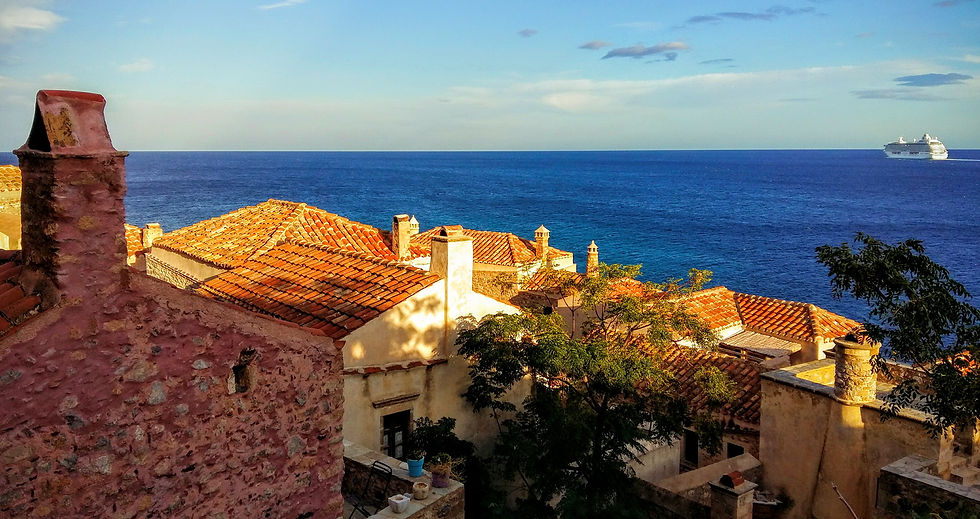
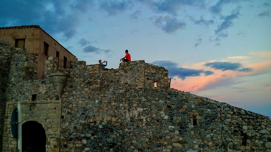
Monemvasia, a name which derives from moni emvasis, the Greek for single entrance, is a trucated mass of rock Attached, tentatively, to the eastern coast of Laconia by a slender modern causeway. A true island known as the "Gibraltar of Greece", Monemvasia was settled in the sixth century AD. by Lacedaemonians fleeing Sparta. Monemvasia with its unique archaeological site and multi-aspect culture, bears living witness to age-old traditions. Lying at the crossroads of important Byzantine sea-ways in the Eastern Mediterranean and with close political and cultural ties to both Mystras and Constantinople, Monemvasia soon became a flourishing naval power with an enviable economy. Thanks to the city's political significance, emperors and despots of Morea established the Metropolitan See there and respected it particularly, giving the celebrated town tremendous commercial advantages. In 1971, Monemvasia became linked with the rest of the outside world through a bridge on the western side.


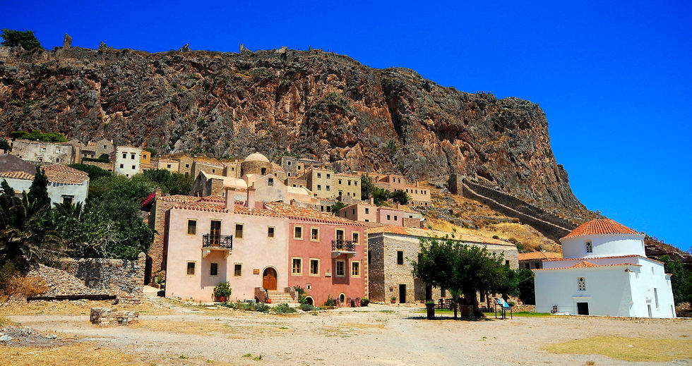
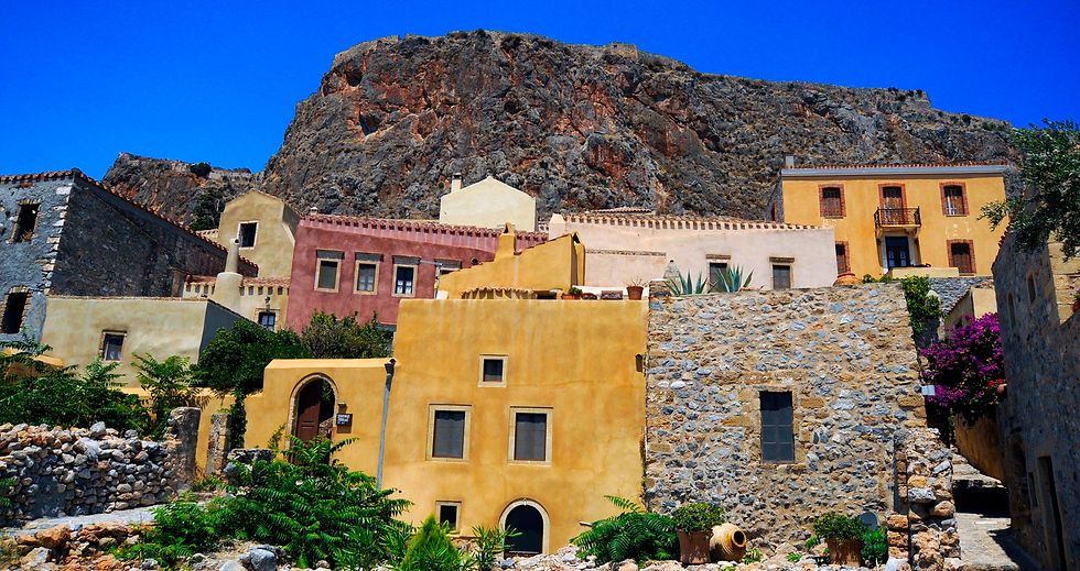
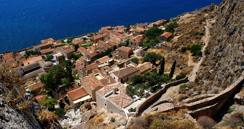
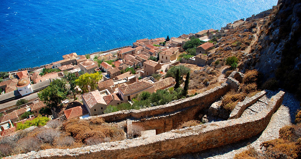
In more recent history, the town has seen a resurgence in importance with increasing numbers of tourists visiting the site and the region. The medieval buildings have been restored, and many of them converted to hotels. The town was liberated from Ottoman rule on July 23, 1821 by Tzannetakis Grigorakis who entered the town with his private army during the Greek War of Independence. For the past few years, on July 23, an independence day celebration has been held in the main port. Speeches are made and the story of Tzannetakis Grigorakis, and his men, is recounted in both Greek and English. Inhabitants and visitors can gather to watch as a ship, built every year, is filled with pyrotechnics and set on fire.
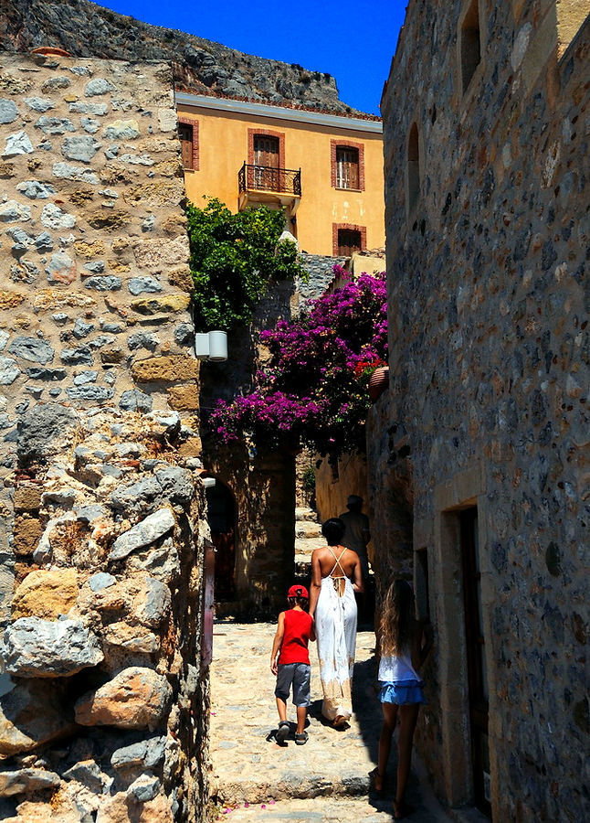
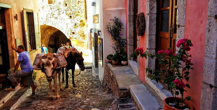
Geography: The island of Monemvasia was separated from the mainland by an earthquake in 375 AD. The majority of the island's area is a plateau about 100 metres above sea level, and the town of the same name is built on the slope to the south-east of the rock, overlooking Palaia Monemvasia bay. Many of the streets are narrow and fit only for pedestrian and donkey traffic.




Explore Mani
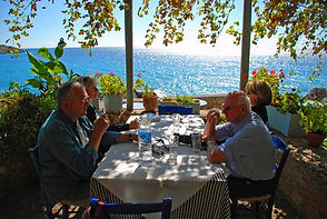
Ignore the islands, turn left at Athens and make the journey across the dramatic Corinth canal, to the Peloponnese that you will find staggering landscapes, soaring mountains and the mythical heart of Greece... the area of Mani in Peloponnese today is an unspoiled patchwork of dizzying mountains, deep gorges, blue crystal waters and wild flower meadows. The further south you get, the fresher the air, the more splendid the isolation. ... Visit Areopolis, Monemvasia, Limeni, Cape Tenaron, Diros Caves, Gerolimenas... Have lunch or Dinner in front water.
Diros Caves
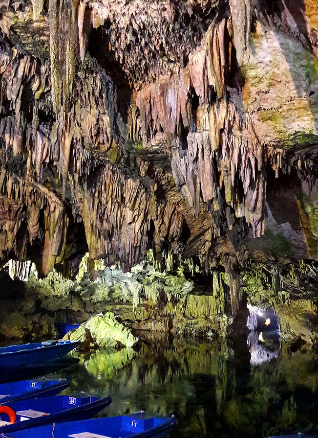
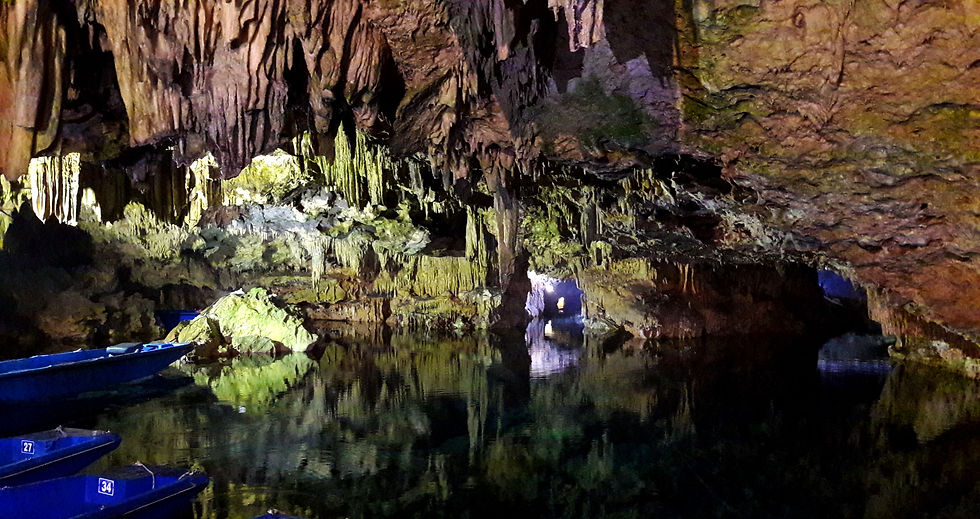
Located at the top of the Mani between the town of Pirgos Dirou and Areopolis the entrance is a few meters above the sea and a beautiful stone beach. When you arrive at the Caves you buy your 12 euro ticket. Try to get here early especially in the summer. The Diros Caves are perhaps one of the most important natural sites in Greece as Meteora Rocks...
Open Winter: From November 1st until March 31
Hours: Monday - Sunday: 08:30 - 15:00
Open Summer:
Hours: 10:00-18:00
